Bridging a gap in air quality monitoring
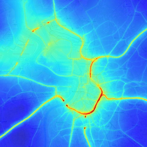
Belgian citizens are exposed to much higher levels of NO2 than other European citizens.
The reasons are well-known:
- large industrial sites (especially oil refineries)
- a dense road network contribute to high background levels of air pollution.
Recent public-supported experiments have shed new light on how variable the NO2 levels can be. For the average citizen, neither the low resolution satellite maps nor the sparse air quality stations provide meaningful data about their direct exposure to the harmful NO2.
What is needed is:
- more in-situ sensors
- new instruments capable of producing an increased spatio-temporal resolution
A new instrument concept – when space heritage meets ground-based applications
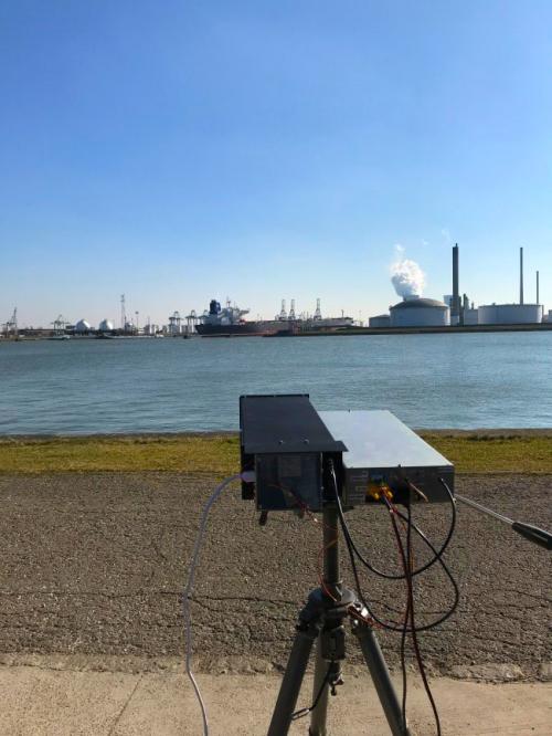
Recognizing that the instrumental concept of ALTIUS could be optimized for the remote sensing of NO2 on ground, BIRA-IASB has developed a prototype of a NO2 camera, i.e. an instrument capable of imaging the NO2 field above large point sources such as cities.
By inserting a tunable spectral filter inside a classical optical setup (lenses, detector), one can take snapshots of a scene at the wavelengths which are effectively absorbed by NO2 (these are found in the blue part of the natural light spectrum). By analyzing the contrast of images acquired at several wavelengths, one can retrieve the abundance of NO2 encountered by the photons on their way through the atmosphere.
The obvious benefits of this concept are:
- a broad field of view
- a relatively high data rate enabled by a fully-electronic control chain
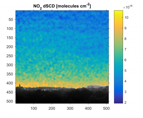
With this instrument, actual emission fluxes of smokestacks can be estimated (see introductory image) and compared with reported values. Another important application is the high-resolution mapping of the pollution above a city (Figure 3), a step towards a full street-level pollution map.


